Stakeholder Workshop: From Innovation to Implementation

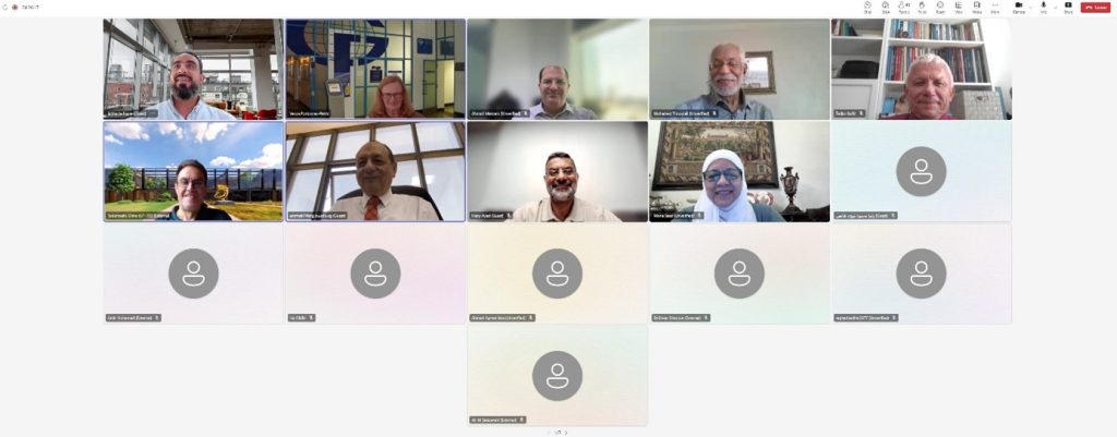
On 25 June 2025, the MLUMSE consortium hosted its first Stakeholder Workshop to connect ideas, people, and practice around the future of land and urban planning in the Southern Mediterranean. The event, held online, brought together academics, public authorities, and industry voices to translate innovation into actionable curriculum and capacity building. The workshop opened with a presentation of the shared purpose: modernising higher-education programmes for data-rich, fast-moving, and deeply interdisciplinary realities. From there, a series of focused talks gave an overview of current challenges in land and urban management.
Prof. Crompvoets presented a policy overview situated the project within European priorities—sustainability, digital transformation, and fit-for-purpose land administration—underscoring opportunities for alignment with funding and standards. Prof. Ayad’s analysis of regional inputs then surfed the ground truth: water scarcity, rapid urbanisation, informal settlement upgrading, and the urgent need for practical geospatial skills in agencies and municipalities.
The conversation broadened through a series of focused threads. Assoc. Prof. Katrien Pype (KU Leuven) offered anthropological perspectives on “smart city” developments in Sub-Saharan Africa. Eng. Shaker Khalif (BIM-Lab Engineering) showed how BIM, data standards, and life-cycle project management are reshaping projects workflows. Mohamed Timoulali (GTOPIC) outlined competency-based curricula for urban and peri-urban contexts. Ahmad Makram (Esri Saudi Arabia) highlighted how web GIS ecosystems and certification strengthen geomatics education and lifelong learning. Dr-Ing. Marija Jevrić (University of Montenegro) introduced the Erasmus+ CBHE SmartWB experience, lessons and impact as a comparator and inspiration for MLUMSE’s trajectory. The programme culminated with Dr. Dimo Todorovski (University of Twente), who presented an analysis of existing curricula and a modernisation proposal aimed at closing gaps in emerging areas.
Discussion turned these ingredients into direction. A comparative view of existing curricula showed strengths in foundational GIS and surveying, while revealing gaps in newer areas such as digital twins, participatory methods, and fit-for-purpose land administration. Draft directions emerging from the workshop include modules: Urban Digital Twins & Simulation; Smart Cities & Digital Urban Management; Fit-for-Purpose Land Administration; Transportation & Mobility Planning; Geospatial AI; and Participatory Planning.
These takeaways stood out:
- Align teaching with real workflows: courses should mirror how agencies and firms actually work so graduates are project-ready from day one.
- Bring frontier tech into the core. Emerging methods (digital twins, BIM–GIS, GeoAI, IoT) should appear in required courses with hands-on labs.
- Respond to Southern Mediterranean priorities. Programme design should speak directly to water management, informal settlement upgrading, climate resilience, and rapid urban growth—through studios, fieldwork, and capstones co-designed with stakeholders.
Detailed agenda and event report can be found at www.mlumse.eu.